Tag der Steige in Essen!
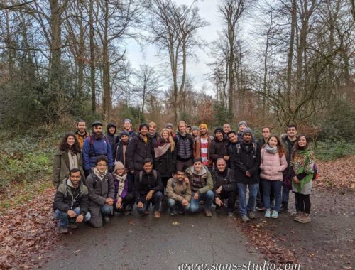
Some people a few years ago told me about this hiking trail called Baldeneysteig, which appeared somewhat interesting. However, by the time I learned it, we had already done almost all of it, so I never really properly paid attention to it. This Saturday, however, the city of Essen somehow decided to probably organize an inauguration day, which they called Tag der Steige. The idea was actually pretty simple: You simply walk along the Baldeneysteig and you get stamps along the way. In the end, if you pass all the checkpoints, you get a badge. It’s a nice idea, but the whole track is 26 km, so I wasn’t sure if there were so many people who would be interested to join.
Download kml / gpx
As there were two train stations along the way, Kupferdreh and Essen Werden, so I made a track from Kupferdreh to Werden as an alternative, which was around 12 km.
There were some people joining, but not quite as many as I had thought. The official event of Essen apparently did not have much of an impact that I had expected.

Essen is in the heart of the Ruhr area, and frankly if you come from elsewhere in Germany you don’t expect a green area here. The reality it that it has full of green areas, and so it indeed makes sense to create a hiking trail like this one. Right after Kupferdreh, it felt like we were walking in a real forest, with often a nice view over the Ruhr.

And then there are also historical artefacts like this railway. It’s called Hespertalbahn and has not been used for more than a century. As far as I know, sometimes small trains for kids run there, but I’m not really sure if they go for a long distance (meaning more than a few hundred meters or so). Anyway, It’s nice to see such a historical artefact.

I think I write it every year, but I really like this yellow-ish green of late spring. It really feels vigorously refreshing. The new season started.

There were also random alpacas on the way. They looked like they didn’t really care about what was going on around them. It’s so weird because they also came towards us at the same time.

Apparently this cemetery was part of the official hiking track. I remember I was kind of criticised when I included a cemetery some years ago. Well, the city of Essen apparently doesn’t really care about that.
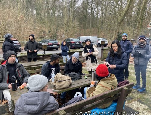
At some point, we realized that there were also checkpoints for the rally. They were there to give people stamps. Apparently there was one at Kupferdreh, but luckily since we were going there again, we still got a chance to complete the stamps. As I didn’t really care about it, I didn’t get a stamp, but some people, like Rahul, seemed to be really excited.
After we crossed the river, some people took a train to go back to Düsseldorf. This was expected, but I was actually rather surprised that we were still something like 10 people hiking, to complete a 26,2 km-track. Not bad.

We had a break on the top of the hill near Essen Werden, where we had a new year’s hike last year. It’s a nice location for a break.
The track from there to Kupferdreh is so familiar to me, that I could have done it without looking at the map. It goes up and down along the river, and towards the end there’s a super flat path leading to the train station.
Overall, they made a nice hiking trail. It was also a nice idea to organize this thing called Tag der Steige, because at the end of the day they were only giving stamps to the people and badges if they completed it, meaning it cost them probably almost like nothing. I’ll look forward to further events like this one.

Hiking around Mechernich

Hiking around Opladen!
You May Also Like
Camp+Cycling+BBQ Weekend at Dutch-German border!
Hiking from Düsseldorf airport to Mörsenbroicher Weg