Hiking from Werden to Steele!
It was a very weird period of time maybe for 2 weeks, as the temperature dropped significantly. I had to go to the institute in freezing weather. Fortunately, today it was different. With a little bit of cloud above us, which made the scene somewhat spectacular, the temperature went up to 20 °C.
As May 1 (which was a Monday) is a holiday, I thought maybe people don’t mind walking a bit more and many people would be on vacation and somewhere else. So I decided to put something a bit more strenuous than usual. As the other side of Werden-Kettwig, which we did a couple of weeks ago, had not been done and it was not particularly easy, I put the event there.
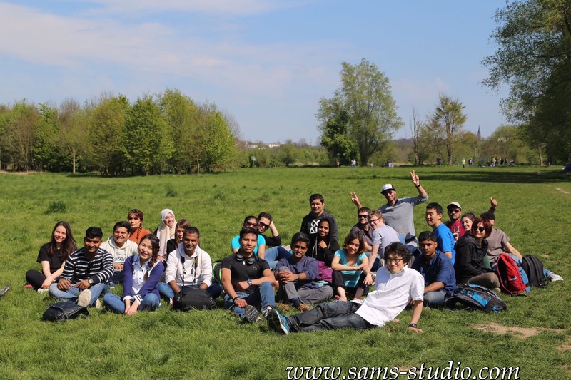
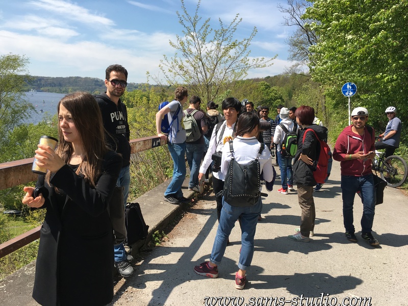
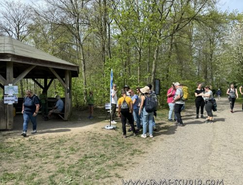
My assumption, that the people go on vacation, was partially true, as many of the standard members (e.g. Anirban, Alfredo, Théo, Crypton, Nicola etc.) were not there (and not even in Germany). On the other hand, many people joined us for the first time, among others my colleagues. As they are students (and therefore can take someone else for free in the train), they were twice as welcome :D. There were also a lot of new people from Cologne, which is a little bit far away from Düsseldorf. As they were also students, they could come to Düsseldorf for free, but it really makes the impression that this event is becoming a state-wide event (of North Rhine-Westphalia). This “semester ticket” which enables students to travel everywhere within the same state revolutionized the way they travel. Not a wonder that the extent of the hikes that I organize in Germany is not comparable at all with that of France.

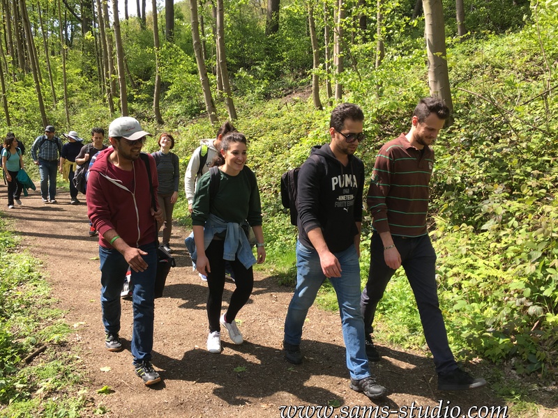
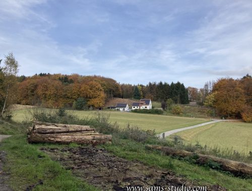
In the article of last week, I talked about the lakes in Duisburg as if they were the only one recreational place with water this region (or at least this was my understanding). As it turned out, there are quite some lakes nearby. This time, we were walking along the river Ruhr, which gives the name Ruhr-region, and the Ruhr river itself obviously was a sort of a resort. You may not expect anything like this if you hear “Ruhr”, but apparently it is like this nowadays. As today’s path was a bit hilly, it was quite nice to see the Ruhr from above, although the photographer (me) totally failed to take a spectacular photo.
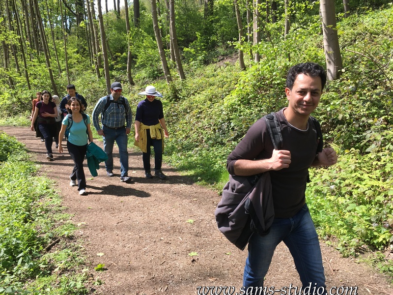
According to the map given in this page, the total distance was about 17 km, which is quite a lot, especially regarding the fact that most of the people who come with us are not quite used to hiking itself. The problem is also, when there’s ONE person who says he/she is tired, the feeling propagates really quickly. So I constantly looked for shortcuts. I have the feeling that this was my main activity of the day… On the other hand, for the first time I became really aware of one problem: the paths proposed in the website, which are given in kml and gpx format, cannot be read common programs such as Google Maps or Apple maps. Since I have an Open Street map based app, I just have to click on the link and it’s automatically loaded. Particularly for today’s session I wanted them to know where to go, as I wanted to stay near the end of the group, but it turned out that I was the only one who knew the path. So I had to pay attention both to the head of the group and the end of the group. I really have to figure out how to solve this problem. By the way, the app that I use is called maps.me, which is a great offline map and often contains more information than Google maps. If you have it on your phone, you can simply download the path ahead of the event and you don’t have to wait for me to know where to go.
Everywhere, like on the CS page and in the WhatsApp group, I put the warning that today’s hike would be harder than usual. I guess everyone was prepared for that, but maybe due to the shortcuts, it ended rather earlier than I thought, although it allowed us to have a long second break right before the end of the session, in a vast field at the Ruhr. Even though the weather was really nice and the temperature was fairly high, the water was freezingly cold. I’m already trying to go to the water every week but obviously it’s not going to happen within a couple of weeks.
This was then followed by a beer garden, which presented the perfect ending of today’s session.
The trail can be downloaded from this link (kml-format) or this link (gpx-format)

Duisburg through 6 lakes!

You May Also Like
Hiking from Oerlinghausen to Bielefeld
Tag der Steige in Essen!