Hike Dutch in Arnhem!
It is true that the VRR region is relatively large, but when it comes to hiking, the areas we can visit are limited: it’s concentrated around Wuppertal, Hagen and Essen. Going to these places alternately has of course its own limit. It was when The piece of information that I got recently saved us from this impasse: the Dutch city Arnhem is included in the VRR area. For me, it makes absolutely no sense that Arnhem, which is fairly far away from the border, is included in VRR. But it anyway is. There’s certainly no reason to complain.
But then there was still one really weird thing happening here. Even though it is within the VRR area, it is not within NRW, which means students coming from universities outside of the VRR region had to buy a ticket, or find someone who can take them. And since I actually got a ticket for June to August, I was the one who could take on student with me. What a weird situation.
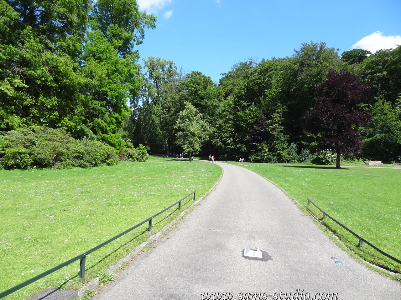
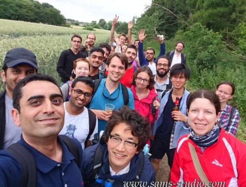
Leaving the city was somewhere between easy and extremely difficult: a few minutes after we left the train station, we were in a green area, but it was more like a park than wilderness. And as a matter of fact, it looked like we were in a park all day long today.
It is indeed flat in the Netherlands, but it was not as extremely flat as in the region near the Dutch border on the German side. A similar tendency can be seen in Venlo. So it was somewhat more pleasant to walk here than in Borken or Duisburg (not that I don’t like them though).

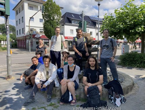
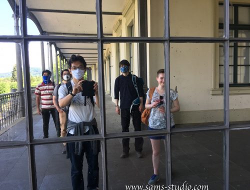
There was one restaurant on the way, de leeren doedel. I put the link here intentionally, since there was a very well maintained lawn in front of the restaurant, which was successfully destroyed by us. I myself didn’t have anything for lunch so I got inside the restaurant. The staff looked visibly concerned about the lawn… By the way the featured image above is the one that we took in front of the restaurant. Please go there and make up for what we did 🙂
It is a known fact, but it is fairly dangerous in the Netherlands when there are bicycles. Now it’s actually even more dangerous because apparently also electric motorbikes can also use the bikeways. I really had to go carefully whenever it was allowed for cyclists to use the same path.
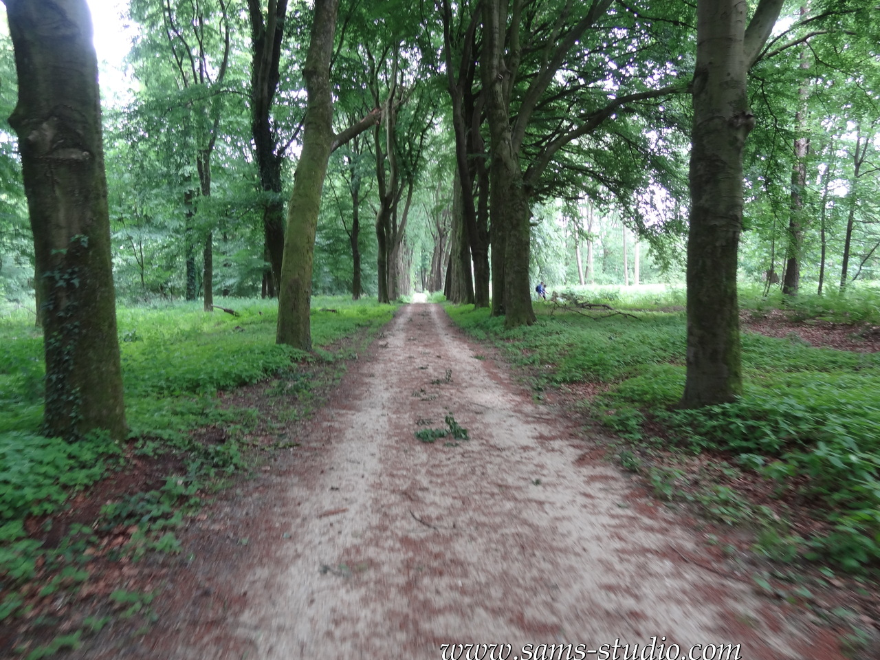
In the first half, there was a good mixture of forests and fields, where there were probably more fields. In the second half, it was more forestal, and actually not as flat as I was expecting. In the end, despite the low expectations of some of the participants (e.g. me), this trail turned out to be a pretty good one. I should probably look into other possibilities in this area in the near future.


You May Also Like
Hiking around Rolandseck
Hiking from Solingen-Vogelpark to Leichlingen!