Hiking from Bad Breisig to Remagen
I don’t know exactly how I came to this idea, but I thought it might be nice to walk somewhere in the south of Bonn, even if it’s outside of North Rhine Westphalia. And so I took the trail from Bad Breisig to Remagen, which I did at the beginning of this year with a friend of mine, in the middle of the second lockdown here in Germany.
At that time I was glad to be able to be outside in the first place, since there wasn’t much going on. So I didn’t really remember how the trail was when I planned it. Anyway it’s the south of Bonn – it cannot be that bad anyway.
I clearly said that the hike was taking place outside of NRW, but still inside VRS, but this apparently created a huge confusion. What was totally unknown to many people was the fact that VRS is not entirely inside NRW. In fact I didn’t know it until a few years ago either, but then I somehow got used to it and didn’t think much about it when I wrote it in the description. As it turned out, the ticket inspectors didn’t know it either, so maybe it wasn’t that critical in the end anyway.
As always, our train got cancelled (well what else would we have expected from the German Railway), so we started around 20 min later. I hope everyone got it right.
Despite the distance from many cities, the event apparently attracted quite a number of people. I have the feeling that it mostly came from the fact that many people now join from Bonn, which lay on the way from Düsseldorf to Bad Breisig today. Is Bonn going to be the next center of mass?
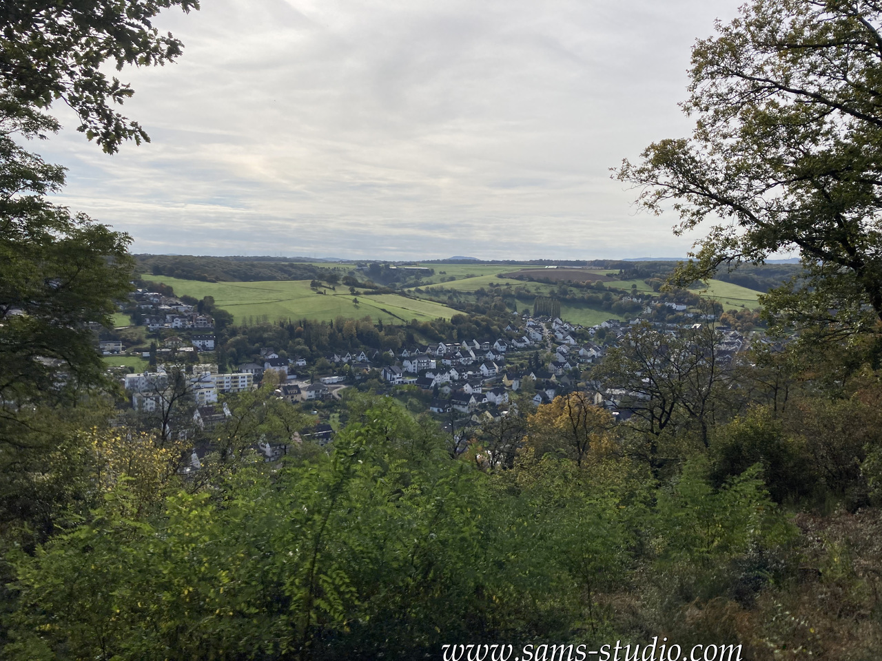
After walking along the Rhine for a few minutes, we went up a quick hill (where we apparently lost a few people, as I learned afterwards). Just like in many places along the Rhine, we had a great view over the Rhine from there.
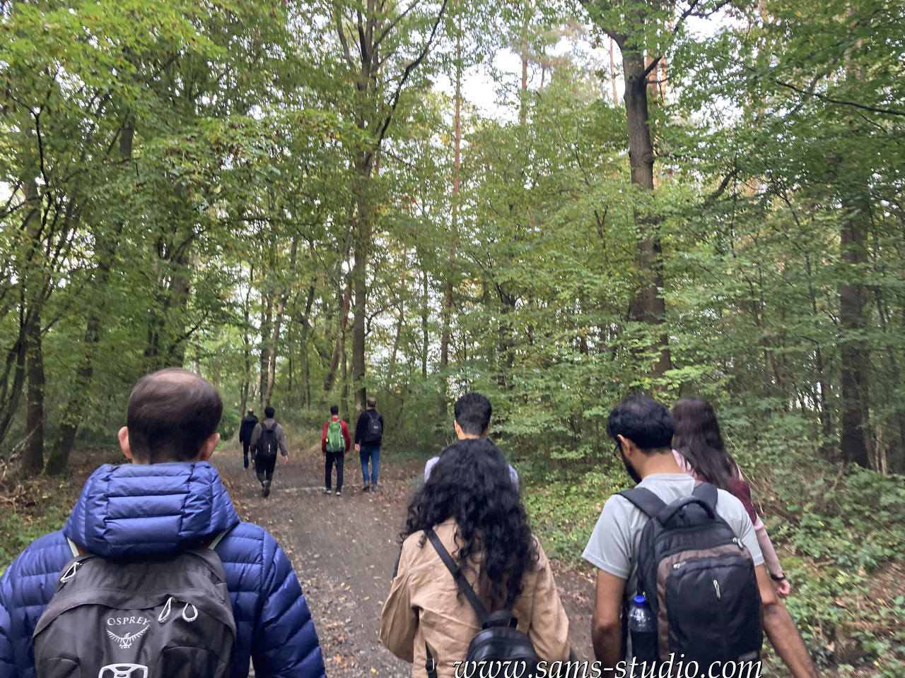
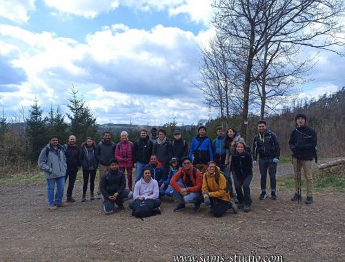
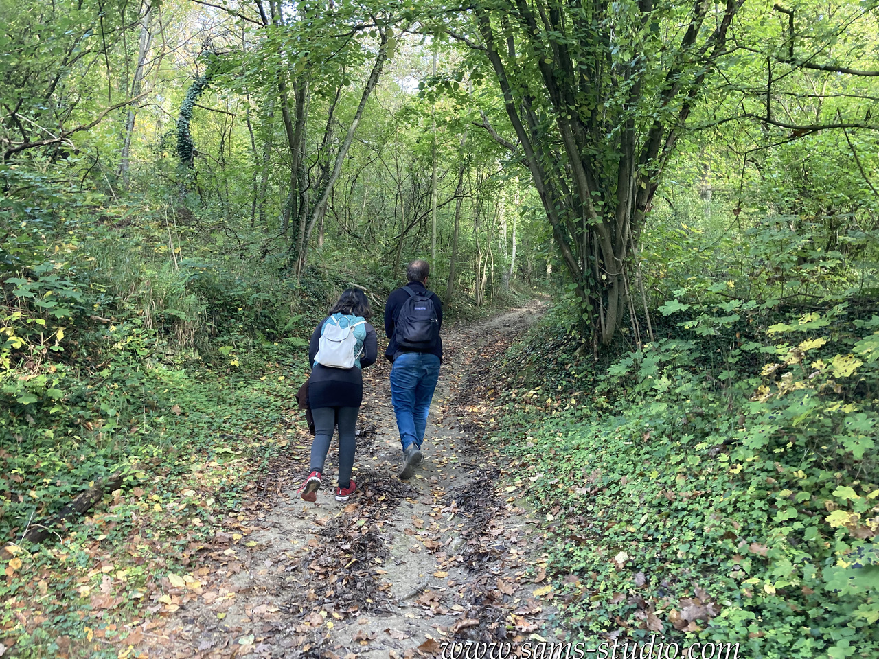
But then for the rest of the day it was quite flat. It was a pity that even though we were essentially going along the Rhine we couldn’t really see the Rhine today. We were essentially walking in a kind of forest that you can see in the photo above.
We had a break in Sinzig, which is a middle-sized city with decent options (so I didn’t take my cooking equipment this time). I took French fries in a nearby Kebab shop and apparently everyone else went to a restaurant.
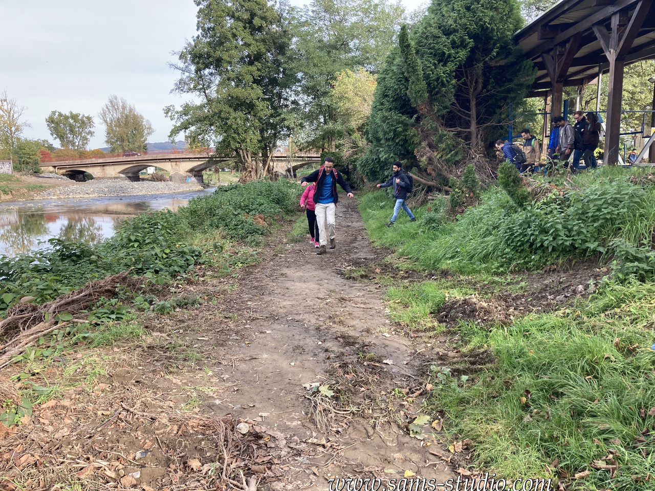
This place, Sinzig, is known for the floods of a few months ago. When a natural disaster occurs in Germany, it takes a very long time to recover. When we were walking along the Ahr we could clearly see its effect. Here on the photo above , there was a street when I walked there around half a year ago. Now it’s just a muddy path which can barely be recognised as a path in the first place.
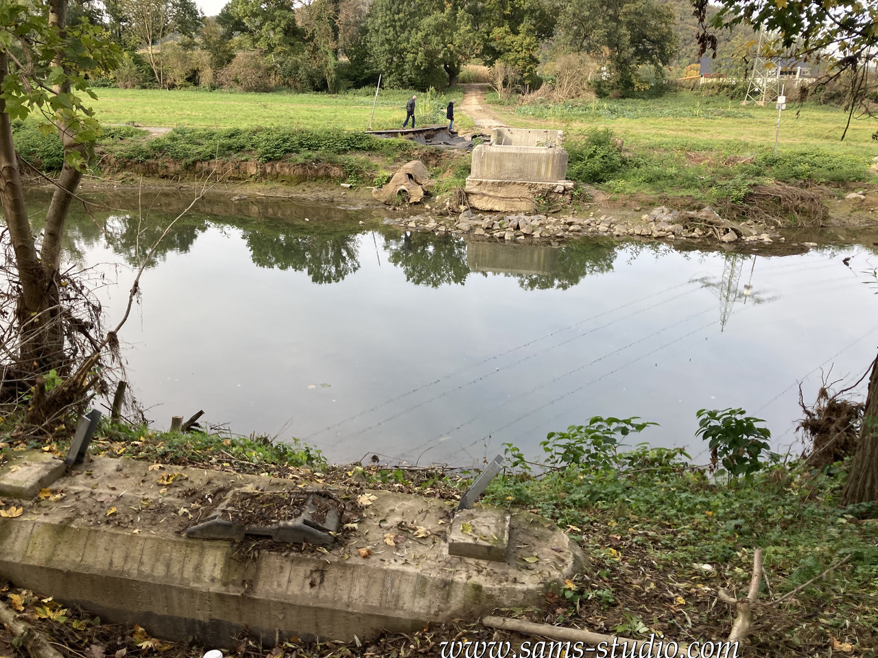
And there was even one bridge missing (cf. photo above). It was so perfectly gone that we didn’t even realise that this bridge was gone until we were literally standing in front of where the bridge had to be according to our map.
Apparently along the river, people started exhibiting the remnants of the floods, maybe to keep the memory of what actually happened here. Well some people might consider it as a tourist attraction.
When we left the Ahr we took a wrong street for quite some time. Anyway it gave me the impression after the break that there was actually very little nature there. Indeed, it must have been very cold when I went there last time, and maybe I had something like a winter hike in mind. For today’s hike I guess it was less challenging than what we might have wanted.
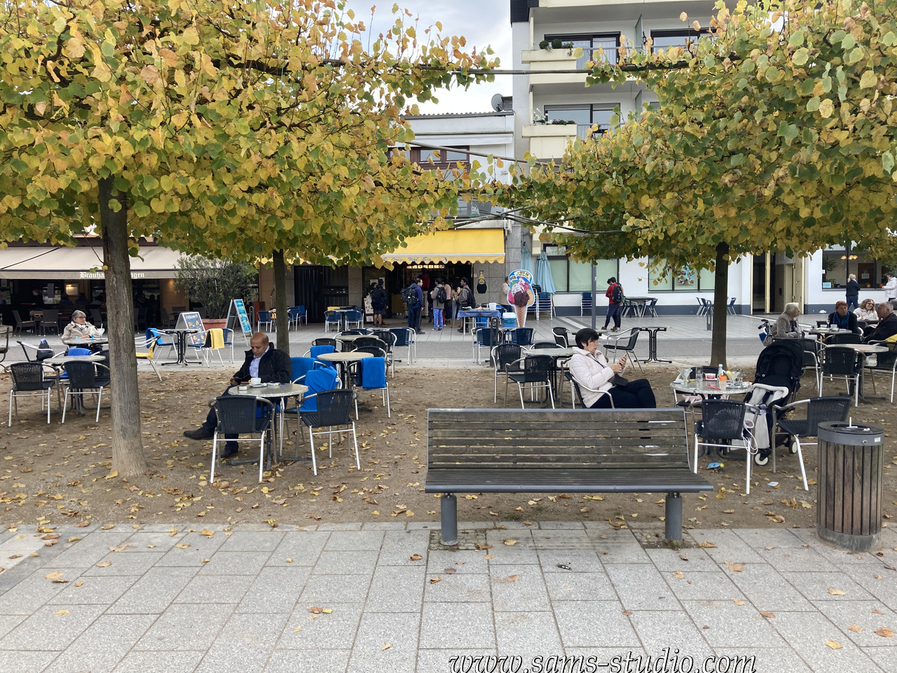
And ice cream at the end in Remagen. Who’d have expected somethings else?