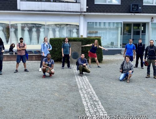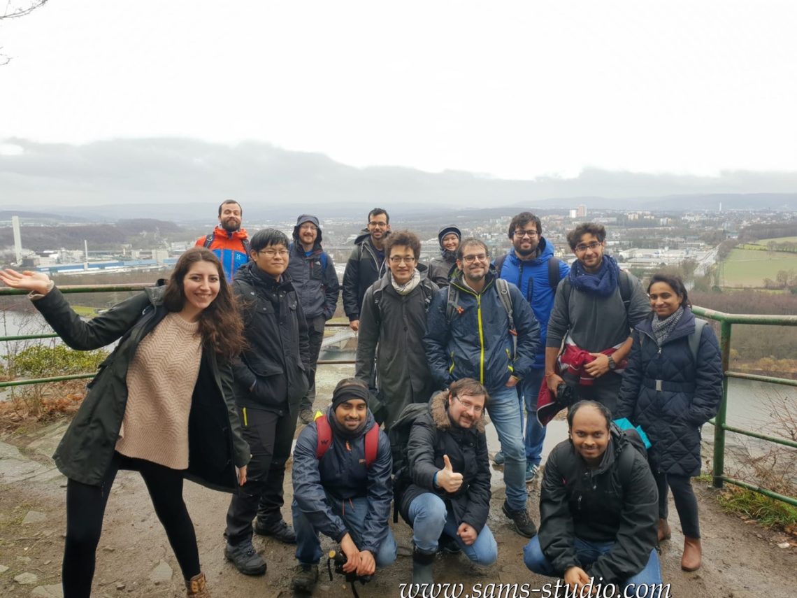
Hiking at Hohensyburg and Hengsteysee
For heaven’s sake, why is the weather always so bad on weekends?
So today, we were in this unknown place called Herdecke, which lies somewhere between Hagen and Dortmund. This region must have been an important place some time in the past, as there are still quite a few railway lines that can be seen – only to be seen. Today, there’s this one line that connects Dortmund and Hagen, which allows us to visit a few rather unknown places along the line. One of them is Herdecke, and there’s beautiful nature right around this city.
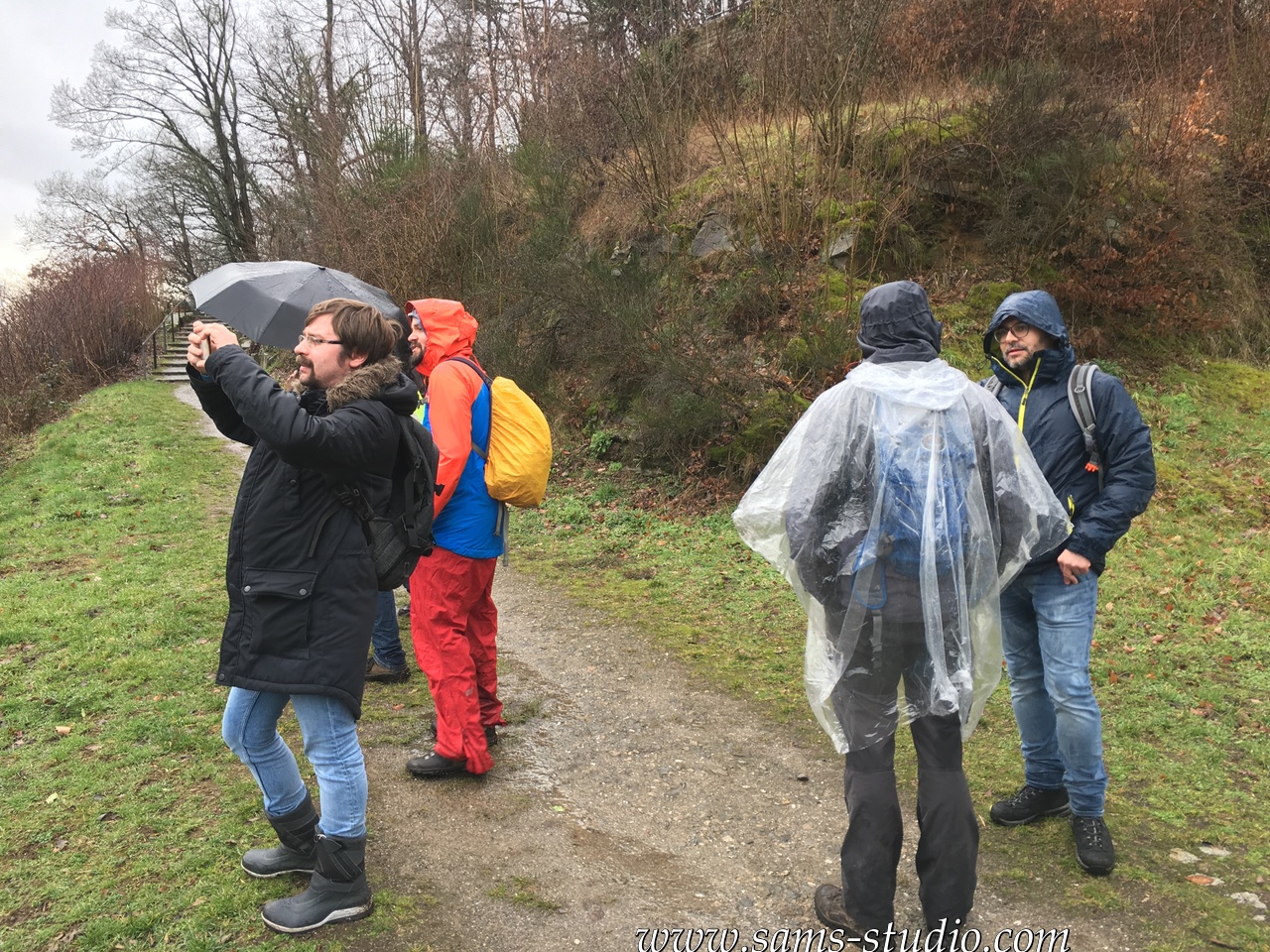
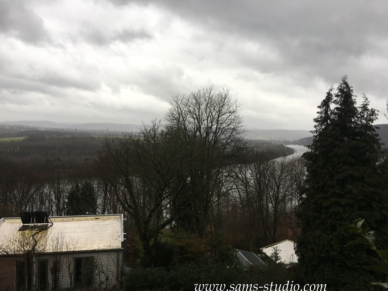
Right after we left the station, we left civilisation. Today, we were somewhat hiking along the Ruhr river, although at the same time we were on top of hills, so that we maintained a great view over the river. If the weather had been better, the photos I shot today would have been amazing.
At least until the break, it was not quite possible to walk without hiking shoes. This hit hard some of the new participants today. I’m pretty sure that some of them regretted to have joined us today. Not quite a wonder that two of them left us on the way.
We had a break at Road Stop, which I guess is mainly for bikers (I don’t know who else would be there otherwise). A pretty conservative place which promotes quite a few dishes with a lot of meat.
After the break, the weather got somewhat better. There were ruins of a castle on the way, which turned out to be Hohensyburg castle mentioned in the title. Whatever that was, it offered also a great view over the Ruhr.
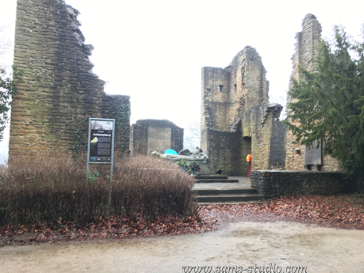
Half of today’s trail went along the Ruhr, completely flat. On a day like today, it is okay to have a trail like this, but this was obviously a bikeway that would be quite crowded in summer. Today, there were only a few of them, and all of them looked much more professional than the ones that can be seen in summer.
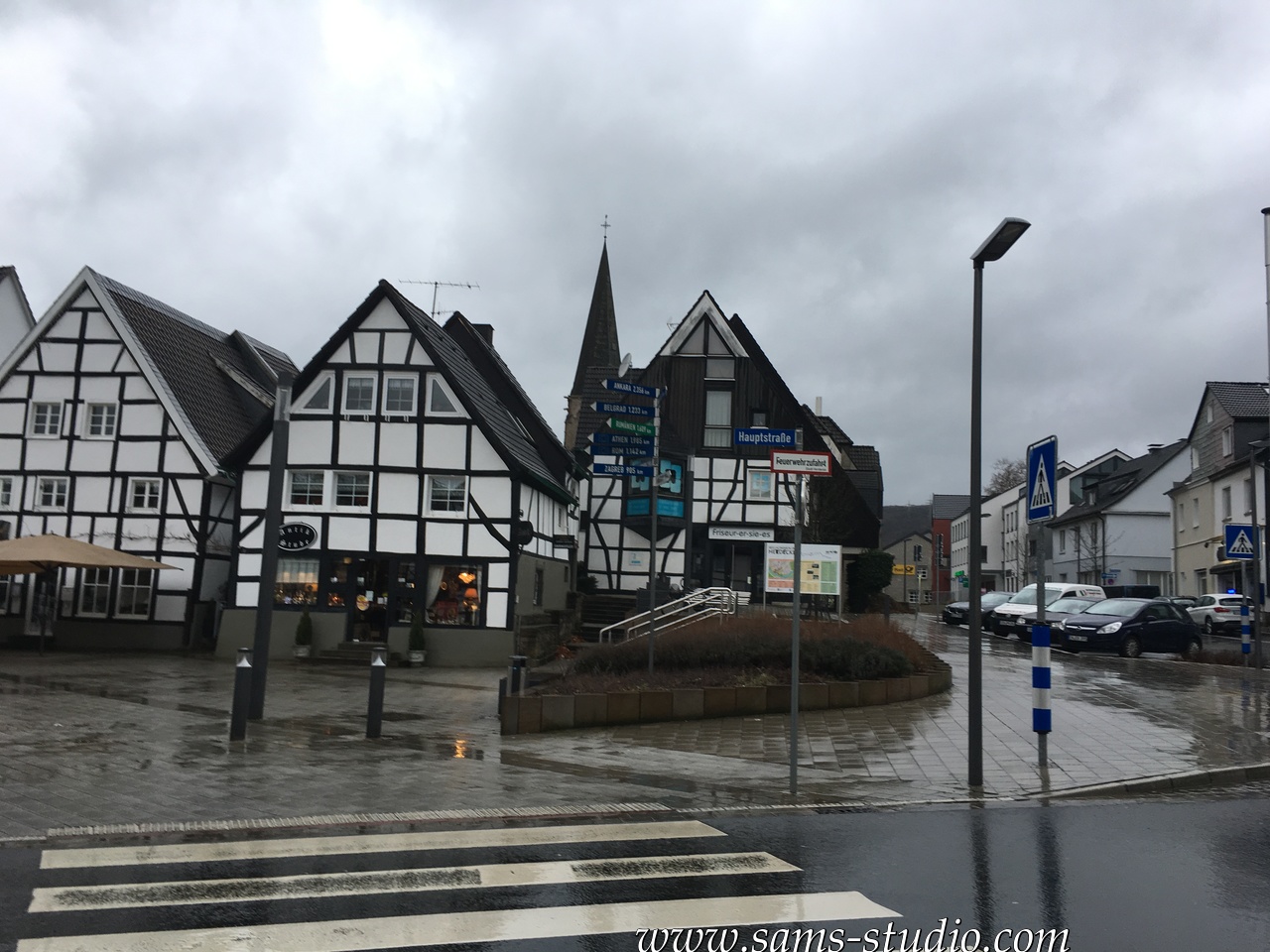
Herdecke is a rather beautiful city. Going through the city center was probably a good idea, even though I’m sure that the photos you see here are not quite convincing.
We walked according to this map (in kml-format) or this map (in gpx-format).

Hiking around Remscheid
You May Also Like
Cycling from Düsseldorf to Köln and beer festival!
May 31, 2019
Hiking from Wetter to Witten and Kirmes!
June 1, 2019